Файл:Kazakhstan adm location map.svg

Файлым и къежьапӀэр (SVG файл, номиналу 1,984 × 1,134 пиксел, файлым и инагъыр: 562 KB)
КӀэщӀу зытеухуар
| Зытеухуар |
Deutsch: Positionskarte von Kasachstan
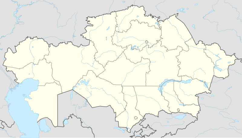
English: Location map of Kazakhstan
|
||||||||||||
| Махуэр | |||||||||||||
| КъежьапӀэр |
Own work using:
|
||||||||||||
| Лэжьыгъэр зи Ӏэдакъэ щӀэкӀар | NordNordWest | ||||||||||||
| Other versions |
|
||||||||||||
_location_map.svg)

|
This map has been made or improved in the German Kartenwerkstatt (Map Lab). You can propose maps to improve as well.
|
Лэжьыгьэ бгъэзэщӀэну хуит узыщӀ тхылъ
Usage of this file with:

explanatory notes: Legally binding is only the full legalcode. For a free usage I recommend to respect the following licence conditions:
1. Provide my name as given above: NordNordWest,
2. a copy of, or the URI for, the applicable license: https://creativecommons.org/licenses/by-sa/3.0/de/legalcode,
3. the title of the work,
4. in the case of an adaptation, a credit identifying the use of the work in the adaptation.
This license and the rights granted hereunder will terminate automatically upon any breach by you of the terms of this license. Any of the above conditions can be waived if you get permission from the copyright holder. If you have questions or wish differing conditions, please contact me through nnwest or my discussion page ![]() t-online.de
t-online.de
- Ухуитщ пщӀыну:
- дэгуэшын – Мы лэжьыгъэр тещӀыкӀын, хэӀущІыІу щӀын, зыӀэпыхын
- зэхъуэкӀыжын/зэгъэпэщыжын – лэжьыгъэр щӀэрыщӀэу щӀыжын
- Мы Ӏуэхугъуэхэр бгъэзащӀэмэ:
- атрибуцэ – ТхакӀуэм и цӀэр,лицензиер, тхакӀуэм зэхъуэкӀыныгъэ хилъхьахэр къэбгъэлъэгъуэн хуейщ. Ар сыт хуэдэ къызэрыгуэкӀ Ӏуэхугъуэк1и пщ1ы хъунущ, ауэ лицениер зейм уэ удэщӀу е уэ укъигъэсэбэпу фэ къытеуэн хуейкъым.
- А Ӏуэхугъуэ дыдэхэмкІэ зегъэубгъуныгъэ – Фэ зэфхъуэкӀымэ, зэвгъэзахуэмэ е мыр и лабжьэу нэгъуэщӀ лэжьыгъэ гуэр буухуэмэ оригиналым и лицензиер къэбгъэсэбэбын хуейщ Ӏэмал имыӀэу е е оригиналым езэгъ лицензие.

Файлым и тхыдэ
Махуэ/зэманым тепӀытӀэ файлыр дапщэщ сыт хуэдэу щытами уеплъынумэ
| Махуэ/Зэман | КӀэщӀу | инагъыр | ЦӀыху хэтыр | Гу зылъытапхъэ | |
|---|---|---|---|---|---|
| иджы екӀуэкӀыр | 17:16, 4 Жэпуэгъуэ 2022 | | 1,984 × 1,134 (562 KB) | NordNordWest | upd 2022 |
| 22:45, 21 Мазае 2022 |  | 1,984 × 1,134 (554 KB) | NordNordWest | corr | |
| 00:41, 26 Мэкъуауэгъуэ 2018 |  | 1,984 × 1,134 (619 KB) | NordNordWest | corr | |
| 18:48, 26 ФокӀадэ 2014 |  | 1,984 × 1,134 (618 KB) | NordNordWest | == {{int:filedesc}} == {{Information |Description= {{de|1=Positionskarte von Kasachstan}} {{en|1=Location map of Kazakhstan}} {{Location map series N |stretching=150 |top=56 |bottom=40 |left=46 |right=88 }} |Source={{Own using}} * United States Nationa... |
Файлыр къэгъэсэбэпын
Мы напэкӀуэцӀхэр 3 тохьэхэ мы файлым:
Куэд къызэщӀиубыдэфыу файлыр къэгъэсэбэпын
Мы файлыр мыпхуэдэ викихэм къыщагъэсэбэп:
- Къыщыгъэсэбэпын af.wikipedia.org
- Къыщыгъэсэбэпын an.wikipedia.org
- Къыщыгъэсэбэпын ar.wikipedia.org
- Къыщыгъэсэбэпын ast.wikipedia.org
- Къыщыгъэсэбэпын azb.wikipedia.org
- Къыщыгъэсэбэпын az.wikipedia.org
Еплъын глэбальнэу къызэрагъэсэбэп мы файлыр.